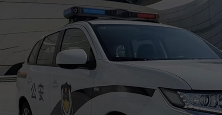
Traffic police add another “magic tool”! UAS intelligent mapping, to create a new speed of site survey!
In the traditional custom; traffic accident scene investigation work; a packet, a foot, a stroke; sealing the road, taking pictures, drawing a map


Often when the site is manually surveyed; will be relatively time-consuming, laborious; especially the traffic flow of the road; easy to cause a certain amount of traffic congestion

In response to the above problems, Senken Group has launched the UAV road traffic survey system, for road traffic control work, a pair of “wings”, a pair of “clairvoyant”, to help improve the efficiency of law enforcement, more mobile, more flexible, more labor-saving

Product advantages: comprehensive functions, high-definition recording, independent research and development, real-time command, intelligent mapping, no fear of interference.

The 4800W HD pixels with 32x digital zoom, together with the high field, wide range and multi-view characteristics of the drone, easily and in detail restore the truth of the accident, achieving efficient, accurate, comprehensive and safe evidence collection.

The drone uses microwave technology as the video image transmission channel, covering a radius of 5-7M, with a wide range and fast transmission, making it ideal for road traffic tasks with a complex environment and wide monitoring range. At the same time, the system can also achieve remote wireless real-time map transmission, which is convenient for the back-end to view the scene in real time and facilitate remote command and dispatch.

The drone’s wide field of view and range, as well as its fast map transmission, allows for more intuitive remote monitoring of real-time road conditions, which is suitable for daily road traffic control and also facilitates on-site traffic guidance.

A wide range of equipment can be mounted according to actual needs, such as shouters, lights and warning lights, which can be deployed to a variety of environments for continuous observation of important areas and rapid data collection operations. Data collection operations.

Overhead video can be collected from major junctions, important road sections and traffic ancillary facilities for long-term preservation and application for use in big traffic data analysis and long-term assistance in traffic planning.


